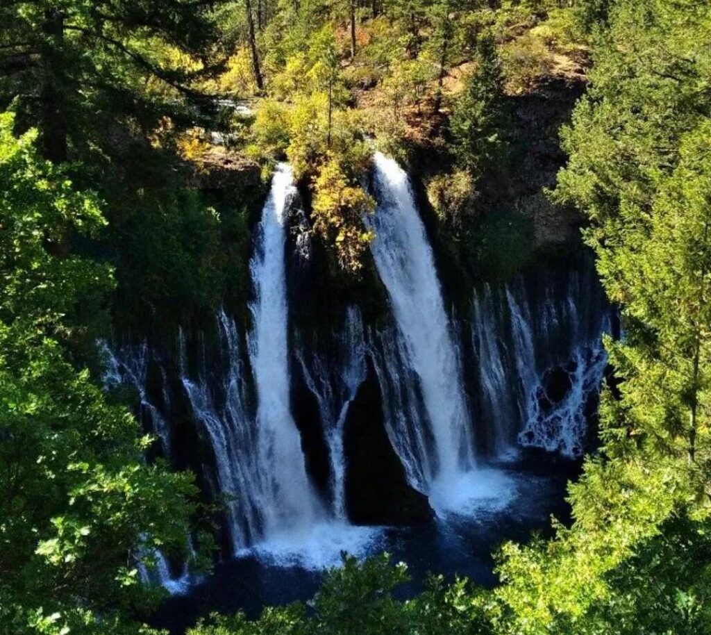
Burney Falls is a stunning waterfall that you can find in the scenic region of Northern California. It’s a popular destination for both day hikers and those who want to venture on an overnight adventure. If you’re planning on hiking to Burney Falls, or have been there before, but are looking for some new tips, this blog post will be perfect for you!
“This post may contain affiliate links. If you use these links to buy something we may earn a commission. Thanks.”
The Burney Falls
Burney Falls is a 250-foot-wide, 129-foot-high waterfall in Shasta County, California, part of McArthur Burney Falls Memorial State Park. The falls are named after pioneer settler Samuel Burney who lived in Shasta County and homesteaded on land that was adjacent to it 100 years ago. His family ran cattle across this grassland, which is now protected as a state park.
Compared to other waterfalls, which may run dry at certain periods of the year, Burney Falls has a steady flow rate of 100 gallons per day. The falls will be continuously flowing even in the middle of winter.
Hiking to Burney Falls-How to Get There
Burney Falls is located in Shasta County, California. It’s a one-hour drive (around 52 miles) from Mt. Shasta City which makes it an easy day trip for those living near Northern California! To get there you’ll take Highway 89 through Mc Cloud to Burney and follow signs towards Lake Britton. The hike to the falls is five miles round trip with an elevation gain of about 400 feet.
The fee to enter is $10, and it’s wise to bring cash since they only take cash. Although the park rangers may at times accept payment, in some instances they are not available. The other option to pay the entrance fee is by placing monies in an envelope at the kiosk located at the entrance.
The 15 Best Women’s Hiking Shoes and Boots 2021
Best Time to Visit Burney Falls
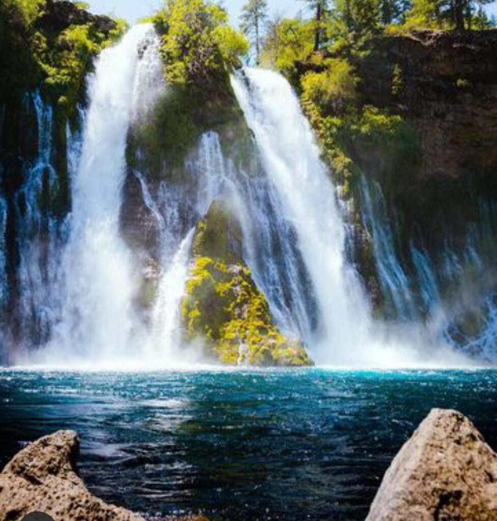
Burney Falls is at its busiest between April and October when water levels are lower. The falls are particularly crowded on weekends throughout the summer because water levels are lowest then. You may trek up alongside the waterfall or even behind it in summer.
The second best time to visit Burney Falls is in the winter, because that’s when water levels are highest, and the cascade appears at its biggest. The white color of snow and the falls themselves will make the scenery even more beautiful.
However, the ideal time to visit Burney Falls is in early spring when water levels are higher and currents stronger, making the falls look bigger than usual. The rushing sound of falling water will make you feel like you’re a part of it all—and that’s worth every minute!
What to Bring When Hiking to Burney Falls
The most important thing to bring when visiting Burney Falls is a map. A map can help you find your way to the park with ease. It will also help you stay on the trails without getting lost.
Other necessary things are drinking water, snacks, lunch, sunblock, bug spray, layers of clothes (warm and cool), rain gear, hiking shoes or boots, toilet paper for emergencies, and a whistle in case of an emergency.
Hiking boots are strongly recommended for trekkers to Burney Falls since the ground can be slick and hazardous there. The areas around the waterfall may get wet and slippery. Look out for ice in the winter months.
If you’re interested in photography, you’ll need certain camera equipment. Tripods or monopods, as well as lens filters, are all things to think about bringing with you depending on the kind of pictures you want to capture.
Hiking to Burney Falls
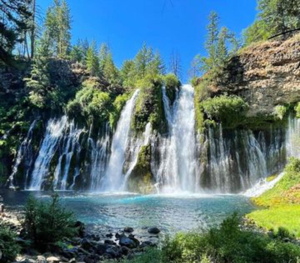
The Burney Falls trail is a short 5-minute stroll from the parking area and is wheelchair accessible! If you want to get out into the wilderness, there are usually five “treks” inside McArthur-Burney Falls SP. Due to storm damage, however, the popular Lake Trail has been closed for some time.
- Burney Falls Loop Trail: The 1-mile circuit starts at the base of the falls and goes clockwise to an overlook above the falls before returning. This interpretive walkway offers you a closer look at the waterfall as well as a peek at park natural flora.
- Burney Creek Trail to Rim Trail: From the falls, the 2.5-mile Burney Creek to Rim Trail leads you into the forest and then ends at Lake Powell. This peaceful walk provides a brief respite before rewarding you with a cold water dip.
- Lake Trail: This trail is closed due to storm damage, but it’s a popular route that leads hikers along the south side of Lake Burney and past some magnificent old-growth trees (including redwoods). It’s an easy walk for most skill levels—perfect if you want to take your time at the falls without taking on any steep terrain.
- Pioneer Cemetery Trail: The Pioneer Cemetery Trail is a 2.5-mile out-and-back excursion that begins at Campsite 75 in the campground. This historical walk leads to an early pioneer cemetery with restored headstones of the settlers whose remains were interred there.
- Pacific Crest Trail, Section O: Begin at McArthur-Burney Falls Memorial State Park and work your way to Highway 5 for a trip down the Pacific Crest Trail (PCT). This 78-mile trek takes you by the lake and the dam, as well as wooded forests with Mount Shasta in view. Alternatively, this route may be done as a 6-mile out-and-back from the dam.
Burney Falls Camping
As the park is located in the middle of nowhere, camping at Burney Falls is well worth considering! While it may be costly, spending the night will allow you to enjoy the spectacular nighttime sky over Northern California. Furthermore, you’ll have a chance to photograph both sunset and sunrise right around you.
Reservations are required year-round for camping at Burney Falls. The peak season is from mid-May through mid-September, with reservations necessary throughout this period. Reservations are accepted from two days up to six months ahead of time and cost $7.99 to process. If you’re looking for a more remote location, the Burney Falls Resort RV Park may be worth considering.
Tips for Hiking to Burney Falls
- It’s all year round at McArthur-Burney Memorial State Park.
- From April through October, the park is frequently visited. The entrance may be closed on occasion due to its popularity. If this happens, you can give it a try after 4 p.m., when most people have gone home.
- If you visit outside of peak season or during the week, you will most likely have the area to yourself.
- Dogs are welcome, but they must be kept on a leash at all times.
- It is important to acquire a fishing license before heading out on the lake or creek. Fishermen must have a permit and rangers patrol both creeks and lakes.
Recommended Articles
- https://thetravelvirgin.com/top-50-hiking-trails-in-the-usa-2021/
- https://thetravelvirgin.com/negril-jamaica-2021-everything-you-need-to-know/
- https://thetravelvirgin.com/top-10-tourist-attractions-in-denmark-2021-50-vacation-discount-code/
- https://thetravelvirgin.com/nyack-beach-state-park/
- https://thetravelvirgin.com/hiking-and-backpacking-faqs/

